Geographical Skills in Year 4
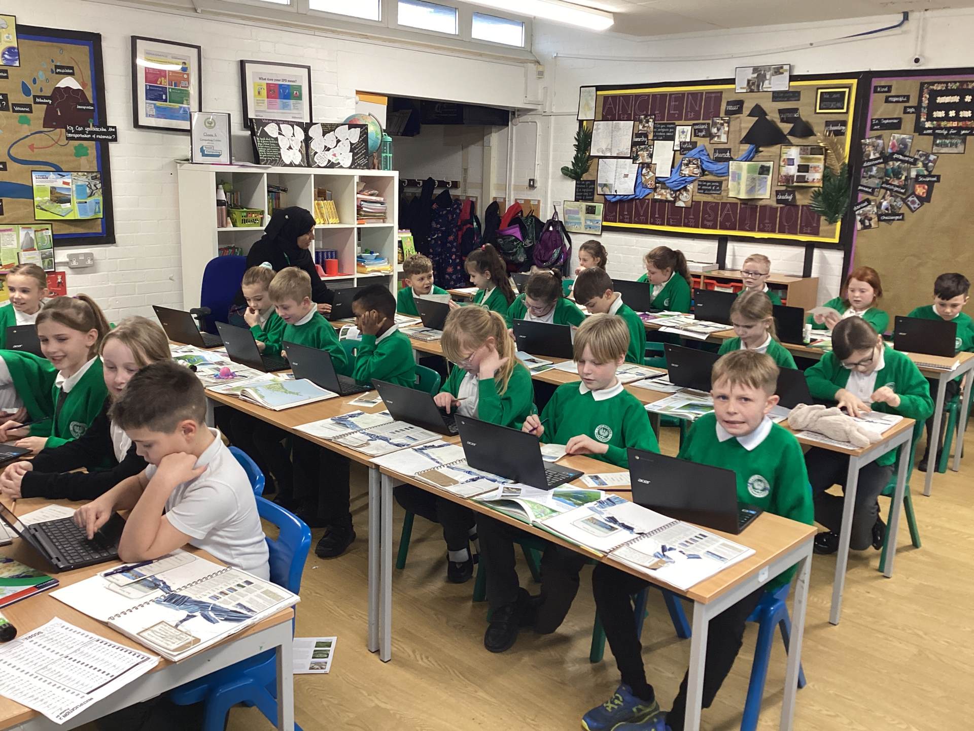
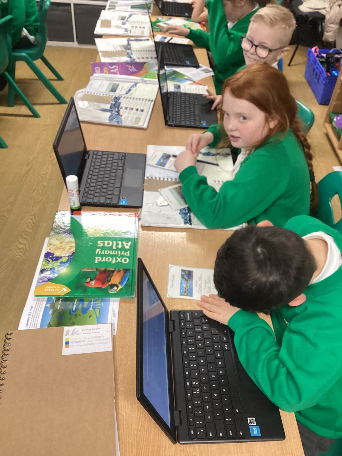
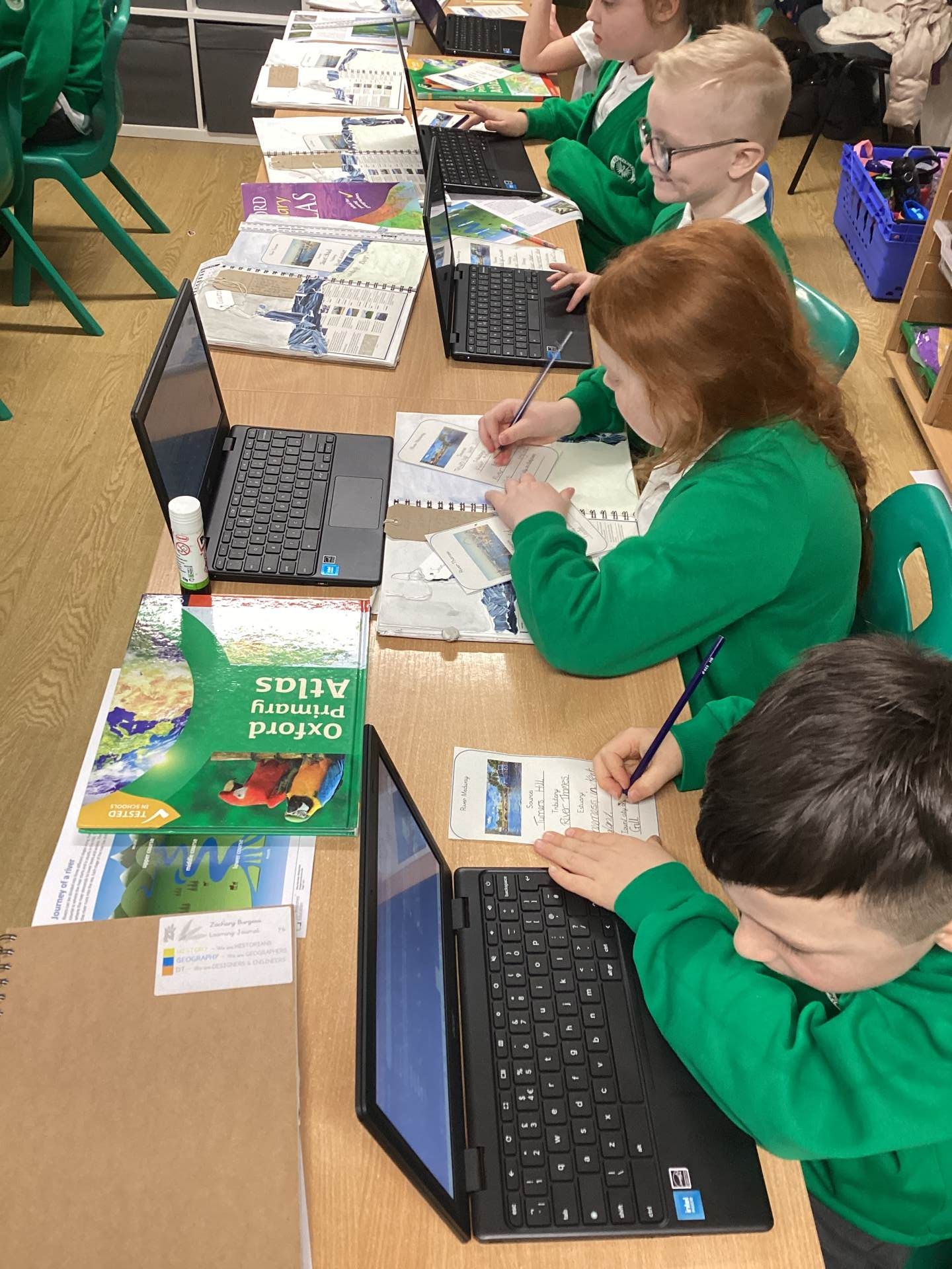
In Year 4 geography this week, we developed important geographical skills through our study of the River Thames and the River Medway.
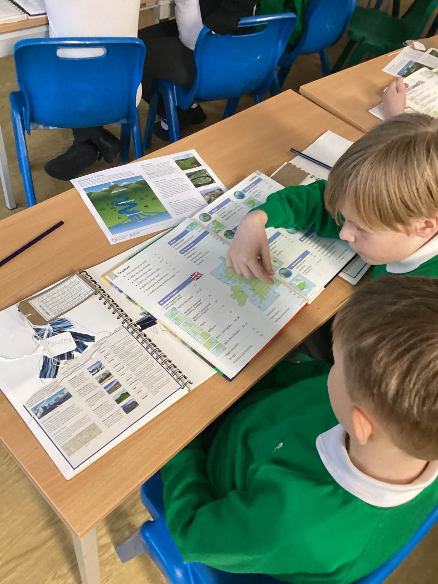
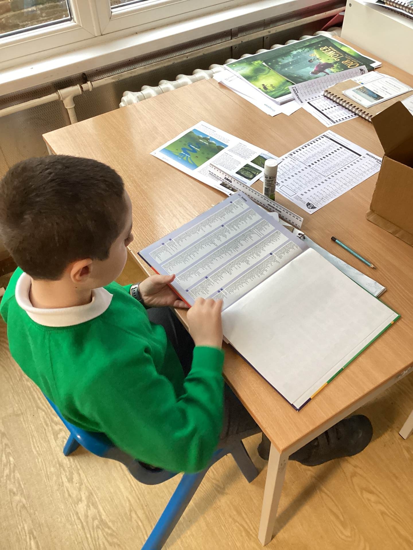
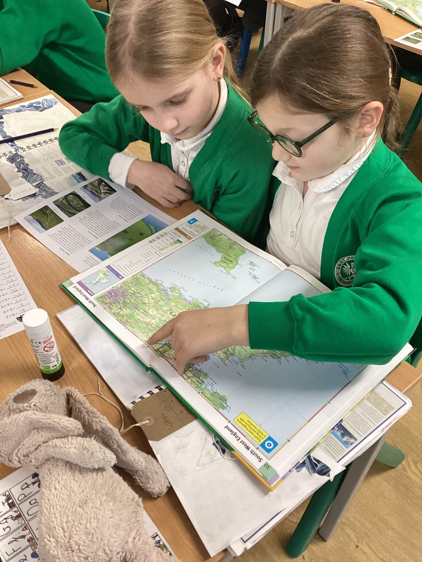
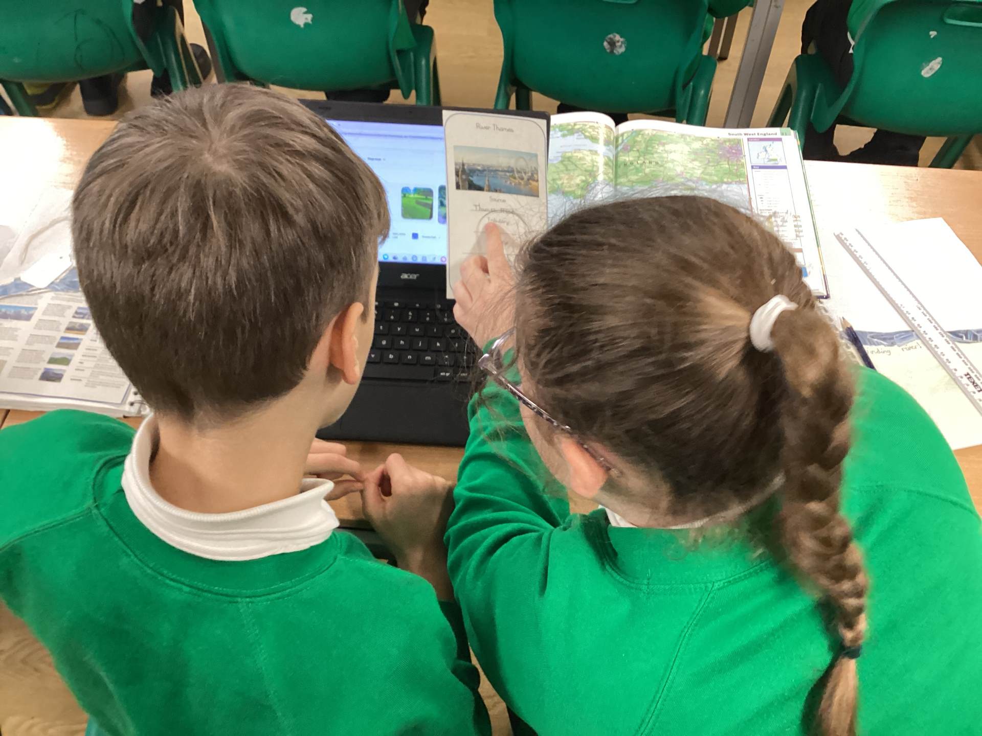
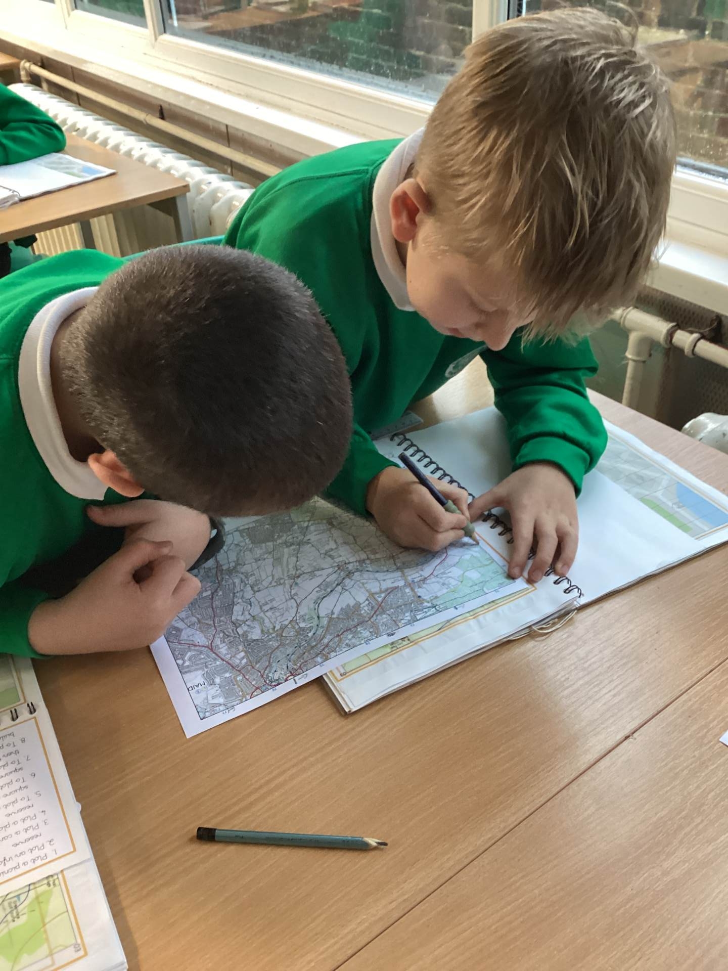
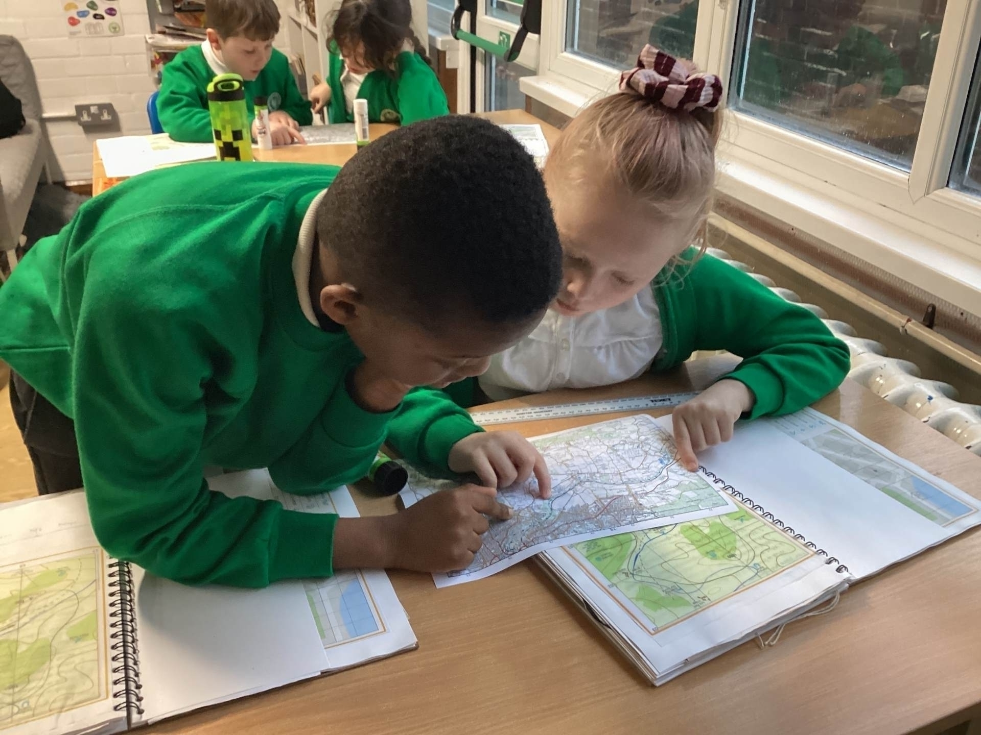
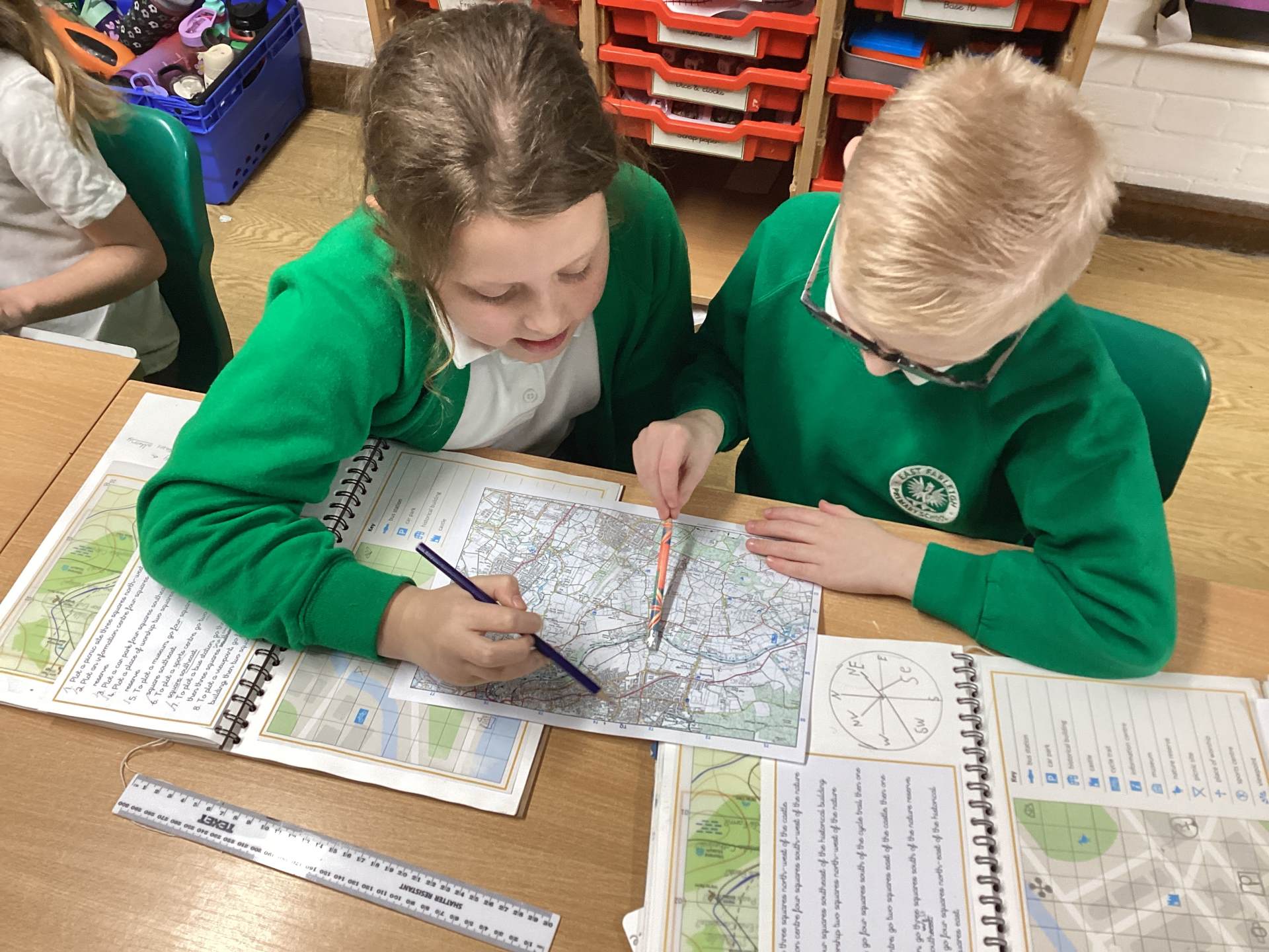
We learned how to use maps confidently, including practising four-figure grid references to accurately locate places and identify both human and physical features along each river. Using these grid references helped us understand how features such as bridges, towns, flood plains and riverbanks are shown on maps. We also used laptops to carry out research, learning how to find reliable information and record key facts.
Through our research, we explored the source of each river, discovered where their tributaries join, and identified their estuaries where the rivers meet the sea. By combining map skills with digital research, we improved our ability to interpret geographical information and gained a clearer understanding of how rivers shape the landscape and support human activity in different locations.
Year 4 Geography WC 12th Jan